TRIMBLE R12i
El Trimble R12i ofrece un rendimiento, velocidad, y exactitud GNSS inigualables que optimizan la productividad como nunca. Con un rendimiento mejorado en condiciones GNSS difíciles y una sólida compensación de inclinación basada en la IMU puede olvidarse de tener que nivelar el jalón y hará más cosas más rápido de lo que creía posible.
-
Descripción del Producto
-
Especificaciones
-
Ficha Técnica
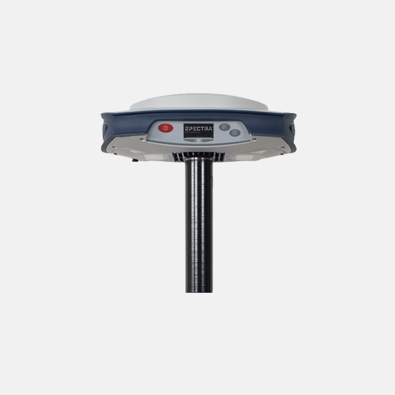
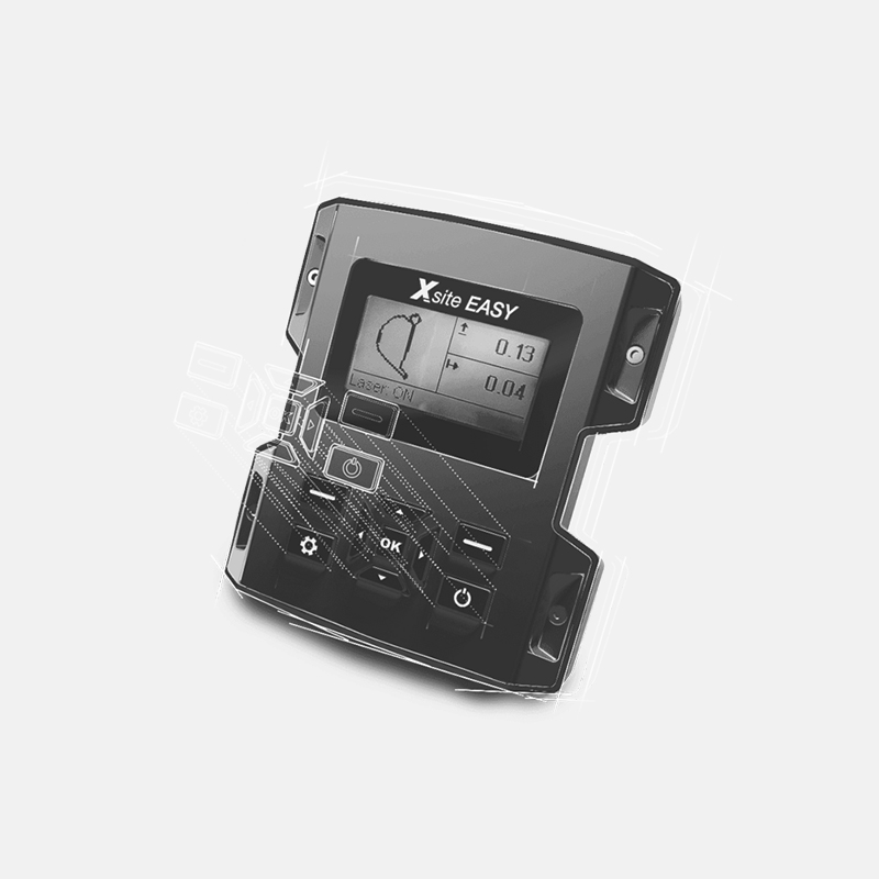
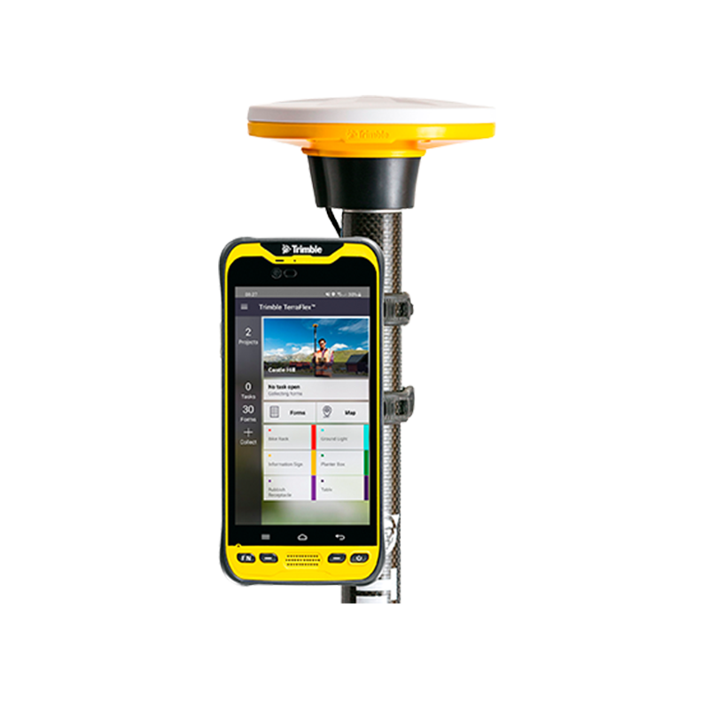
Tecnología Trimble ProPoint GNSS
Rendimiento superior en condiciones GNSS degradadas, con una administración de señales innovadora que aprovecha los últimos desarrollos en la infraestructura de señales GNSS y el hardware de receptor de Trimble. Servicio de corrección Trimble CenterPoint RTX®.
Proporciona precisión RTK en cualquier lugar del mundo sin necesidad de estación base o red VRS. Tecnología Trimble xFill®
Le permite seguir trabajando al proporcionar cobertura RTK continua cuando se pierde la conexión por radio o telefonía celular. Tecnología de compensación de inclinación Trimble TIP.
Unidad de medición inercial (IMU) basada en la compensación de inclinación para el replanteo y medición exactos de puntos sin necesidad de tener que nivelar el jalón con precisión.
Peso | N/A |
Autonomía | N/A |
Dimensiones | N/A |
TAMBIÉN TE PUEDE INTERESAR
![](https://geosysteming.com/wp-content/uploads/2023/10/trimble-sx12.jpg)
ESTACIÓN TOTAL ROBÓTICA TRIMBLE SX12
![](https://geosysteming.com/wp-content/uploads/2023/09/3D-PLURAVIEW.jpg)
3D PLURAVIEW
![](https://geosysteming.com/wp-content/uploads/2023/09/NIVELES-AUTOMATICOS.jpg)
NIVELES AUTOMÁTICOS
![](https://geosysteming.com/wp-content/uploads/2023/09/ESTACION-TOTAL-C5-1.jpg)
ESTACIÓN TOTAL C5
![](https://geosysteming.com/wp-content/uploads/2023/09/RECEPTOR-GNSS-SP85-2.jpg)
RECEPTOR GNSS SP85
![](https://geosysteming.com/wp-content/uploads/2023/09/SISTEMA-XSITE-3D-PARA-EXCAVADORAS-1.jpg)
SISTEMA XSITE 3D PARA EXCAVADORAS
![](https://geosysteming.com/wp-content/uploads/2023/09/TRIMBLE-MX50-1.jpg)
TRIMBLE MX50
![](https://geosysteming.com/wp-content/uploads/2023/09/TRIMBLE-BUSINESS-CENTER-IMG-1.jpg)
TRIMBLE BUSINESS CENTER
![](https://geosysteming.com/wp-content/uploads/2023/09/ESCANER-LASER-TRIMBLE-X9-IMG-1.jpg)
ESCÁNER LÁSER TRIMBLE X9
![](https://geosysteming.com/wp-content/uploads/2023/09/TRIMBLE-DA2-IMG-1.png)
TRIMBLE DA2
![](https://geosysteming.com/wp-content/uploads/2023/09/DRON-VTOL-TRINITY-PRO.jpg)
DRON VTOL TRINITY PRO Y SUS CÁMARAS
![](https://geosysteming.com/wp-content/uploads/2023/09/Matrice-350-RTK-IMG-1.png)
MATRICE 350 RTK
![](https://geosysteming.com/wp-content/uploads/2023/09/Mavic-3-Enterprise-IMG-2.png)
MAVIC 3 ENTERPRISE
![](https://geosysteming.com/wp-content/uploads/2023/09/Mavic-3-Enterprise-Thermal-IMG-1.png)